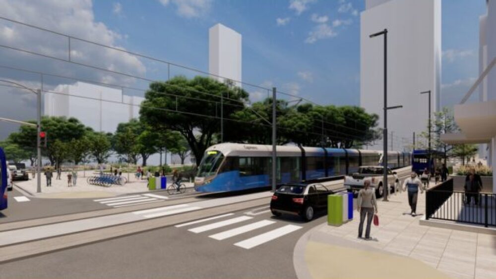
The Austin Transit Partnership unveiled five potential plans for the future of the city’s light rail transit on Tuesday.
The updated light rail plans are a portion of Project Connect — a multi-billion dollar overhaul of Austin’s public transit system approved by voters in 2020 — compressed due to rising real estate costs. Now, Austin is calling on the public for a review.
ATP is accepting public feedback until mid-May, when a staff recommendation will be made, so now is the time to make your voice heard. The Board of Directors plans to make a final decision in June.
Here’s a break-down of the new proposals:
29th Street to Austin-Bergstrom International Airport
Formerly known as the Blue Line, the proposal for this line will still take you from Austin-Bergstrom International Airport to Congress Avenue, but its northern stretch has been cut. This line ends at 29th Street instead of the originally proposed North Lamar Transit Center.
North Lamar to Pleasant Valley
This line picks up the rest of the former Blue Line at the North Lamar Transit Center, and ends in a new location, Pleasant Valley Road. Most similar to the former Orange Line, this route has Lady Bird Lake crossing options at South 1st Street and Trinity Street.
What this, and the rest of the new proposals, leave out is a route toward south Austin — the former Orange Line plan ended on Slaughter Lane.
Central Austin to Yellow Jacket Lane
There are three options that end at Yellow Jacket Lane, including an on-street option starting at 38th Street, and a partially elevated line starting at 29th Street — each with service to Oltorf. The third and shortest option starts at UT without service to Oltorf.
View the full proposal here.


